Advancing evidence-based policy across Asia

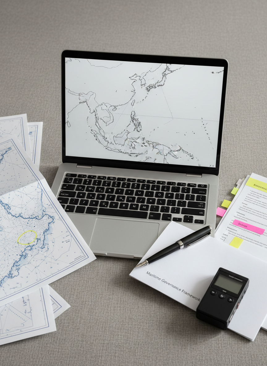
CGSS Asia conducts independent, data-driven research on maritime governance, regional security, and socio-political change to inform public debate.

A polished, high-resolution terrestrial globe focused tightly on Asia and the Indo-Pacific, with coastlines and island chains rendered in crisp detail and subtle topographic relief. The globe sits on a minimalist brushed-steel stand atop a matte white desk, beside an open, blank legal pad and a thin, closed laptop. Cool natural light from the side creates a soft gradient across the globe’s surface, emphasizing ridges and ocean depths while casting a calm shadow behind. Shot at eye level with shallow depth of field, the background fades into a gentle blur of neutral tones. The atmosphere is thoughtful and strategic, with photographic realism and a professional, policy-focused mood.
A wide, photographic view of a major Indo-Pacific shipping lane at dusk, seen from a high, abstract vantage point that excludes any vessels yet clearly shows illuminated sea buoys and navigational markers forming distinct pathways across deep blue water. Thin dotted lines and semi-transparent overlays of white and cyan indicate maritime borders and traffic corridors, subtly integrated into the photograph. The sky glows with the last cool light of day, reflecting as soft streaks on the water’s surface. The composition uses the rule of thirds, with converging lines leading toward a distant horizon. The mood is calm yet analytical, conveying strategic complexity through a clean, modern documentary style.
An elegant, large-format wall map of Southeast Asia and Indonesia printed on matte archival paper in deep navy, slate gray, and soft white tones, mounted in a thin black metal frame on a smooth concrete wall. Below it, a minimalist floating shelf holds neatly stacked policy reports with color-coded spines, and a single small, geometric metal sculpture suggesting interconnected nodes. Overhead, indirect LED lighting casts a uniform, cool glow, eliminating harsh shadows and emphasizing crisp cartographic detail. Captured straight-on with symmetrical framing and sharp focus, the image exudes clarity, rigor, and institutional professionalism in a photographic realism style suited to a research institute’s office.

Services

Research

In-depth studies on maritime governance and regional security to inform policymakers, media, and civil society across Asia.

Advisory

Strategic advice for governments, NGOs, and businesses navigating Indo-Pacific dynamics, risk assessment, and evidence-based policy implementation.

A close-up, overhead photographic composition of a modern research workspace: a slim, silver laptop displaying a simplified, monochrome map of the Indo-Pacific coastline, surrounded by neatly arranged printed charts, highlighted briefing notes, and a compact digital recorder. A matte-black fountain pen rests diagonally across a document labeled “Maritime Governance Framework” in small, sharp text. Soft morning light from the upper left creates gentle shadows and faint reflections on the laptop trackpad, adding depth without clutter. The background is a neutral, textured gray desktop that keeps focus on the analytical tools. The mood is focused, disciplined, and evidence-based, with a clean, contemporary aesthetic aligned to professional policy research.

Insights

Events

A dramatic, long-lens photographic view of a narrow strait framed only by natural elements: steep, dark green headlands on either side and a deep, steel-blue sea channel running between them, subtly overlaid with semi-transparent vector arrows indicating strategic chokepoints and shipping directions. The sky is overcast, providing soft, diffused light that flattens harsh contrasts and enhances the seriousness of the scene. Shot from a distant elevated vantage, the composition emphasizes the constrained passage, with the channel centered and converging toward the background. The mood is sober and analytical, highlighting regional security and maritime strategy through realistic imagery with understated data visualization.

Seminar

Expert seminar on Indo-Pacific maritime governance trends, featuring regional scholars, policymakers, and practitioners from Southeast Asia.

A minimalist, photographic top-down view of a transparent acrylic board resting on a dark slate surface, etched with a simplified, abstract line map of the Indo-Pacific and Asia. Thin, precise engravings trace key sea routes and regional boundaries, catching light along their edges. A single, cool-white spotlight from above creates sharp, clean highlights on the clear material and crisp, controlled shadows underneath, giving the map a floating, three-dimensional effect. The composition is centered with ample negative space around the board, evoking clarity and focus. The atmosphere is modern, high-tech, and analytical, perfectly aligned with a forward-looking policy research institute.

Workshop

Hands-on workshop developing policy scenarios for regional crises, integrating security, economic, and societal perspectives across Asian contexts.

Newsletter

Get weekly analysis on Indo-Pacific security and politics.

A large, meticulously detailed nautical chart of the Indo-Pacific region spread across a smooth, dark wooden conference table, with clearly marked sea lanes, exclusive economic zones, and archipelagic boundaries in muted blues and soft grays. Metal dividers, a navy-blue notebook, and a sleek silver pen rest neatly along the map’s edge. Soft, diffused daylight from an unseen window washes over the scene, creating gentle highlights on the glossy paper and subtle shadows along the tools. Captured from a slightly elevated angle with sharp focus throughout, the mood is analytical and professional. Photographic realism with a clean, modern aesthetic underscores themes of maritime governance and strategic research.

Contact CGSS

Reach our research team for partnerships, media inquiries, data requests, or to discuss bespoke projects on Asian affairs.

← Back

Thank you for your response. ✨